VtWeb Framework
A powerful, flexible, and lightweight framework that allows you to process geodata. Take your first steps with the framework by using the Jupyter Notebook.
The framework is
powerful
The geodata processed by the VtWeb framework can be used in various contexts such as web mapping (OpenLayers, leaflet, CesiumJS ...) and GIS environments (QGIS, ArcGIS, Google Earth ...) thanks to APIs like Tile API, GeoTIFF export, KML export, WMTS, WCS...
flexible
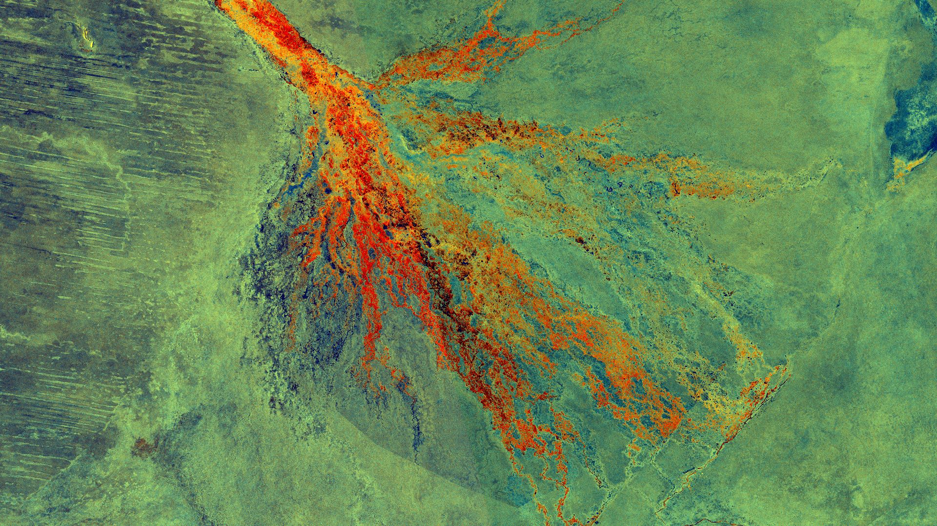
The framework allows you to access a wide range of earth observation products and process, combine, visualize and analyze them the way you want thanks to the POF-ML.
lightweight
Earth observation products can be heavy and difficult to manage. With the VtWeb framework you can visualize and analyse them from your web browser and a light internet connection. You can also easily share your work with hyperlooks or KML.
About the VtWeb Framework
Since 2014, Visioterra develops and maintains a data processing relay infrastructure. This infrastructure allows citizens and scientists to control the download and processing of data remotely.
Several APIs are available which allow to :
- get tiles designed in a user-defined style,
- to get geocoded coverages (analysis ready data spacemaps) in formats such as GeoTIFF,
- to get pixel values,
- to perform multi-date studies,
- and to use standard exchange formats as defined by the OGC (WMTS, WCS).
Projects
Many projects already take advantage of the VtWeb Framework
feel free to explore and discover them
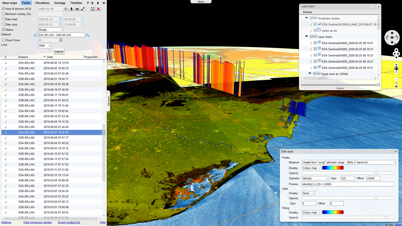
VtWeb
Client-server system allowing to scan free data from the Web, to visualize them in 2D/3D in all browsers, to process them on the fly, to share and to export the selected data.
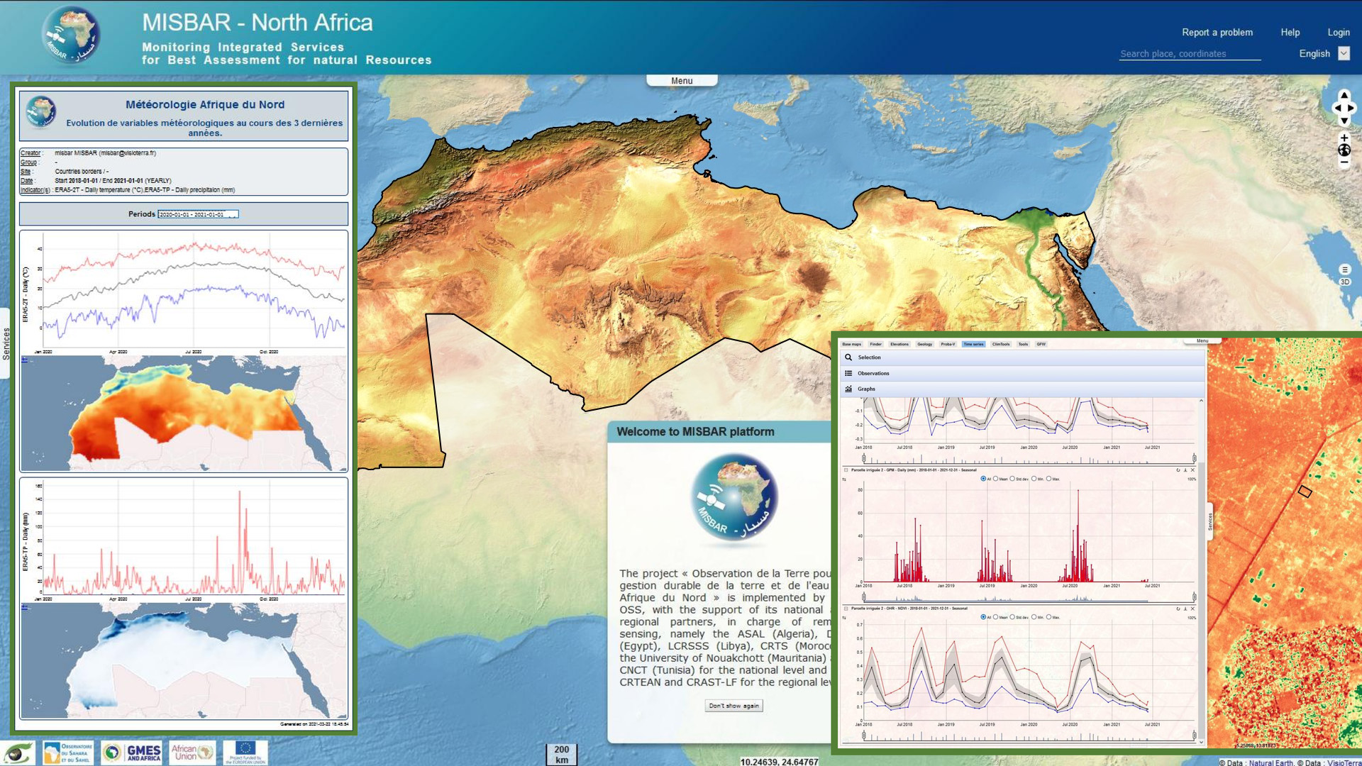
MISBAR
In the framework of the GMES&Africa programme, VisioTerra supported AfEOS in the development of indicators, dashboards, periodic bulletins and configured a datacenter for the Sahara and Sahel Observatory (OSS).
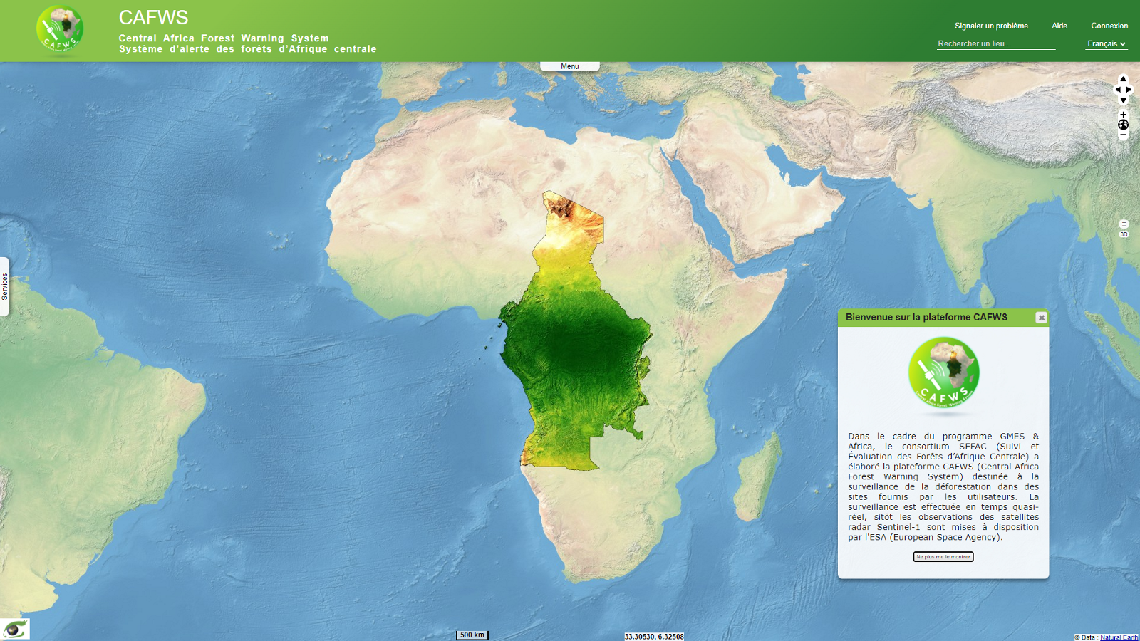
CAFWS
Within the framework of the GMES&Africa program, the SEFAC consortium has developed the CAFWS (Central Africa Forest Warning System) platform for monitoring deforestation in sites provided by users.
The POF-ML
The POF-ML is a scripting language allowing you to use the VtWeb Framework processing units.
Services
Tile API
The tile API allows requests of raster data at any scale, following a standard global grid.
Coverage API
The Coverage API allows the retrieving of GeoTIFF image according to a POF-ML script and a location. Other formats are supported like JPEG or PNG.
Pixel API
The Pixel API retrieves the value of a user defined POF-ML script on requested locations.
Analysis API
The Analysis API allows retrieving statistics or histogram depending on the user defined POF-ML script and a specified area of interest.
OGC WMTS API
The VtWeb framework implements the OGC WMTS protocol. It is therefore possible to display raster from the VtWeb framework in a compliant WMTS client.
OGC WCS API
The VtWeb framework implements the OGC WCS protocol in its 2.0 version. One may retrieve raster without rendering processing.